Ny Rano no Aina
The Distance to Water in Madagascar’s Grand Sud
In July 2026, I travelled overland with my wife, Lucia, from Fort Dauphin to Toliara, crossing Madagascar’s Grand Sud from east to west. We began without a predetermined narrative, allowing the route and the encounters along it to shape the work.
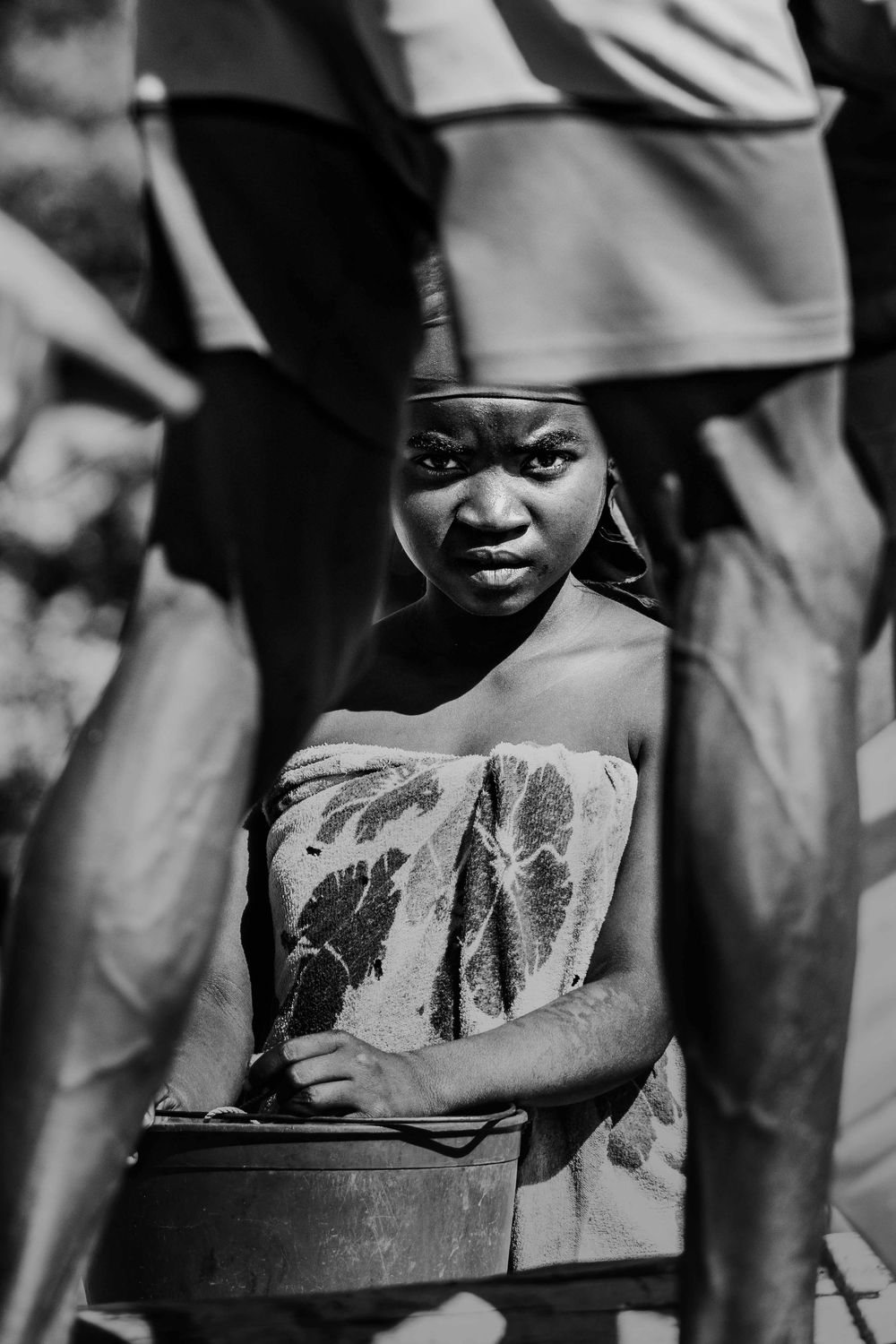
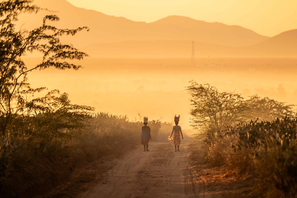
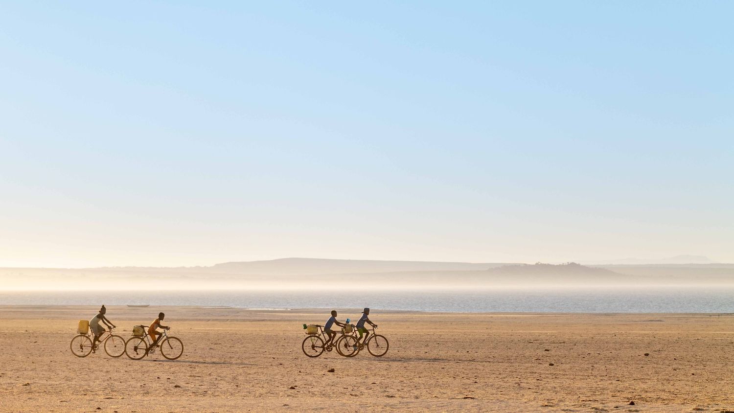
Distance quickly took on a different meaning. Short stretches on a map required hours of driving along deeply rutted tracks, through sand and across dry riverbeds. Water soon emerged as the central thread of the journey. At Lake Anony, children crossed an exposed lakebed carrying yellow jerrycans. Near Tsihombe, families dug into the Manambovo riverbed and waited for groundwater to seep through the sand. Farther west, several villages depended on a single well in the dry bed of the Linta.
The title Ny Rano no Aina means “Water is life” in Malagasy. The photographs document not only the search for water, but also the time, distance and labour required to transport it.
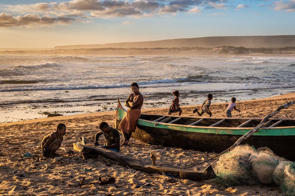
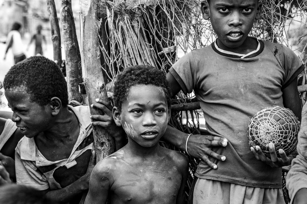
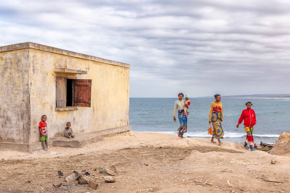
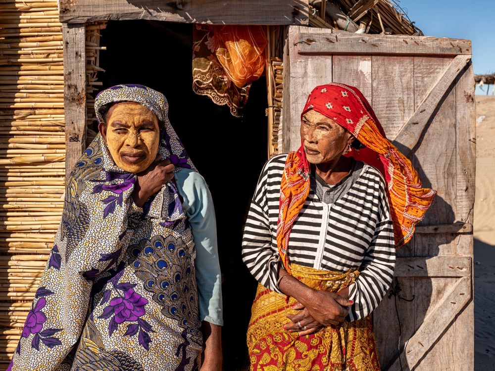
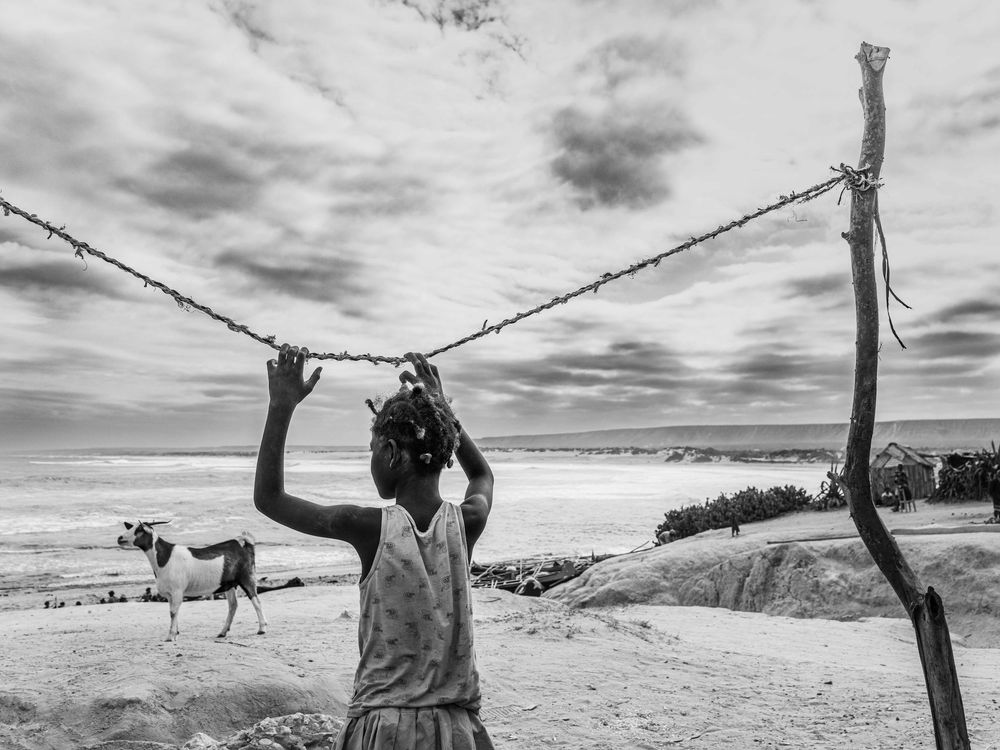
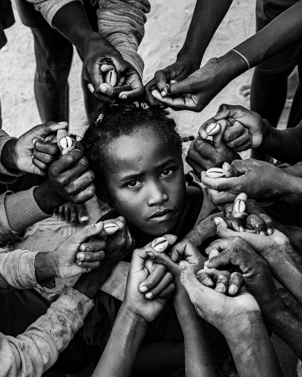
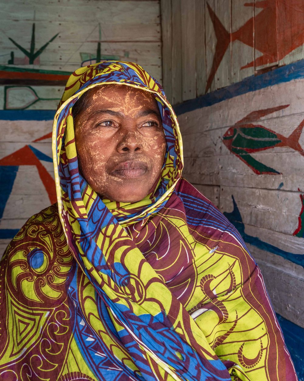
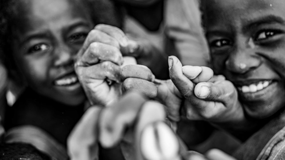
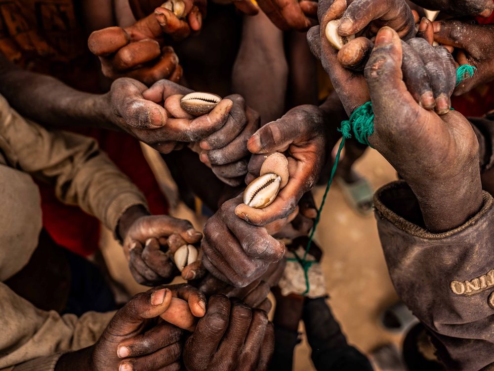
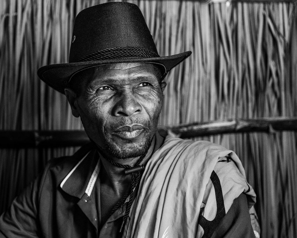
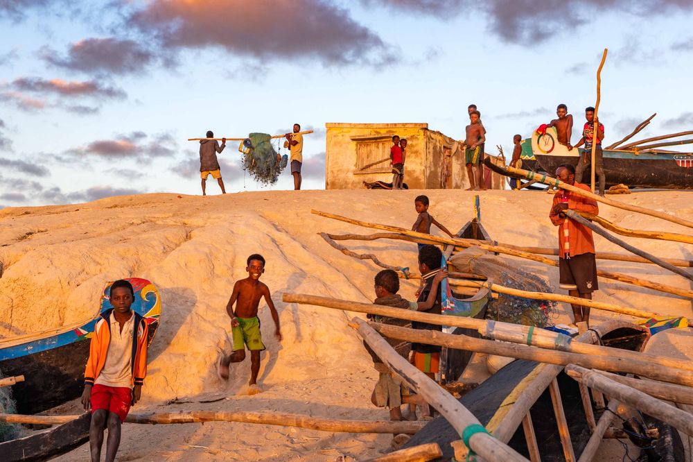
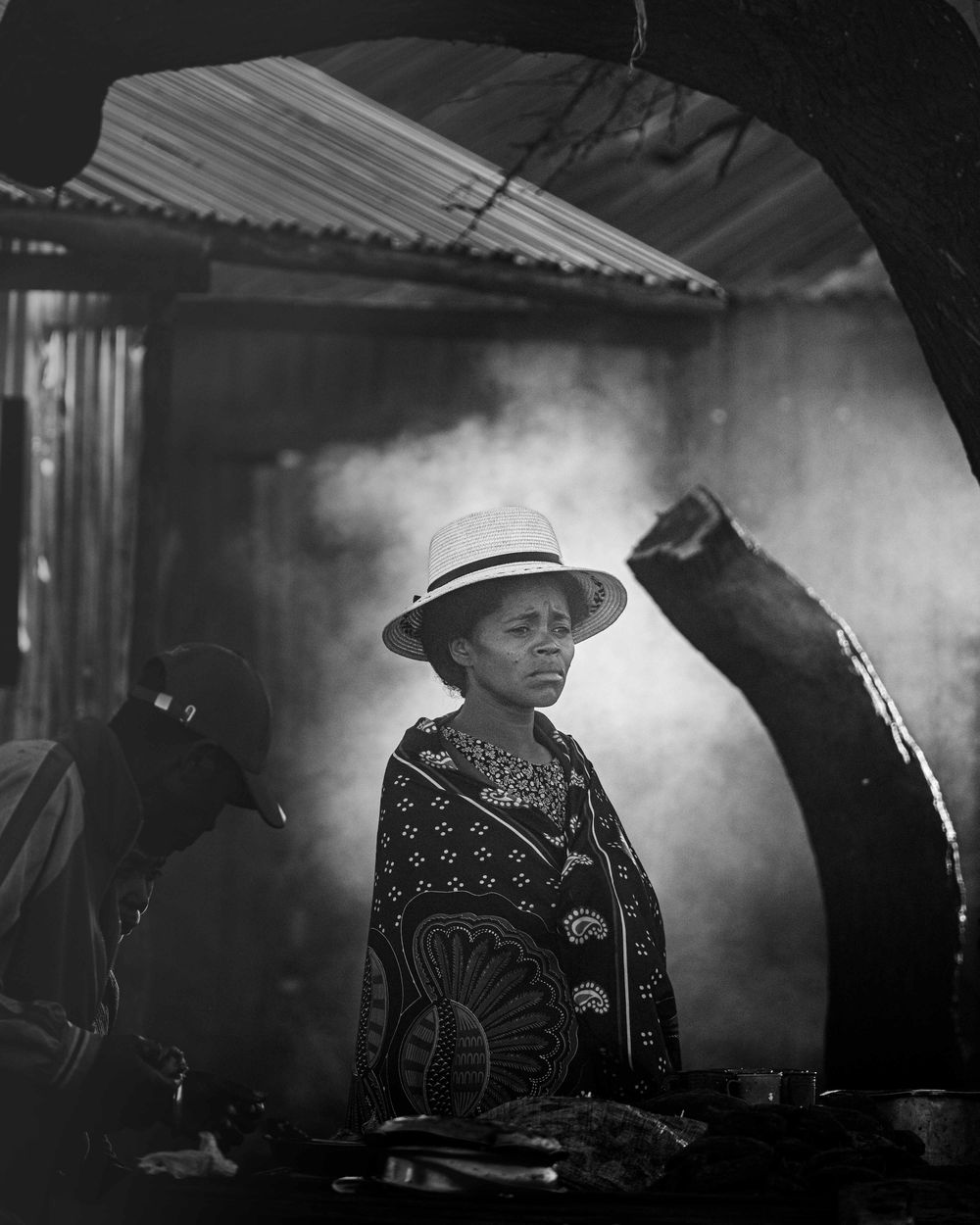
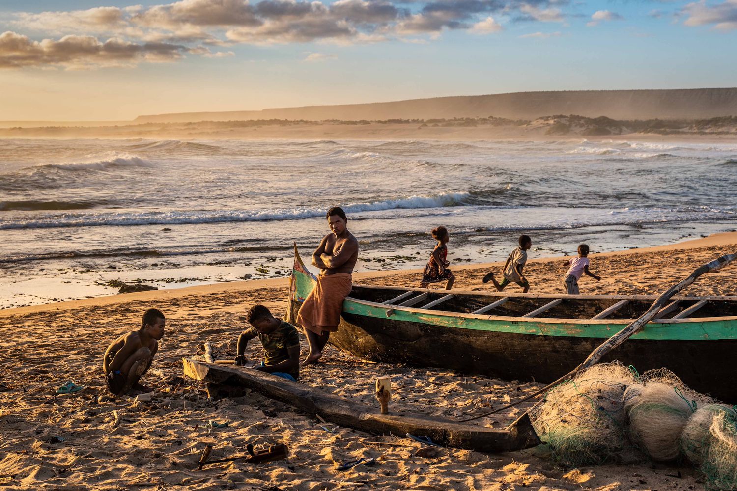
Beyond water, the series follows rural markets, childhood, fishing and belief. Along the coast, Vezo communities draw food and income from the sea, navigating in wooden pirogues and passing knowledge of winds, currents and fishing grounds between generations. Women wear masonjoany, children play among boats and dunes, and an ombiasy practises the divinatory tradition of sikidy.
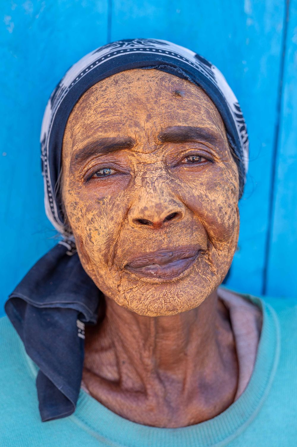
Madagascar is conventionally described as comprising eighteen principal ethnocultural groups, although such classifications cannot fully represent identities that often overlap and evolve. We encountered only a small part of that diversity. This selection of photographs does not attempt to offer a comprehensive portrait of the country or to speak for the people photographed. It records specific places, lives and encounters along one route across southern Madagascar